Drone Services
September 12, 2022 2022-09-12 17:25Drone Services
Testimonial for Drone topographic surveys
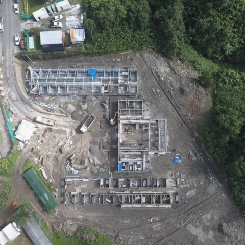
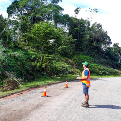
Using UAV or drones, we’ve been conducting topographic surveys which have proven much quicker and meet the accuracy required for architectural and engineering design. We’re now also using drones for our traffic surveys and Kahuto can capture what we need in just an hour. And that’s the benefit - when you’re looking at cost benefits, it’s a no brainer.